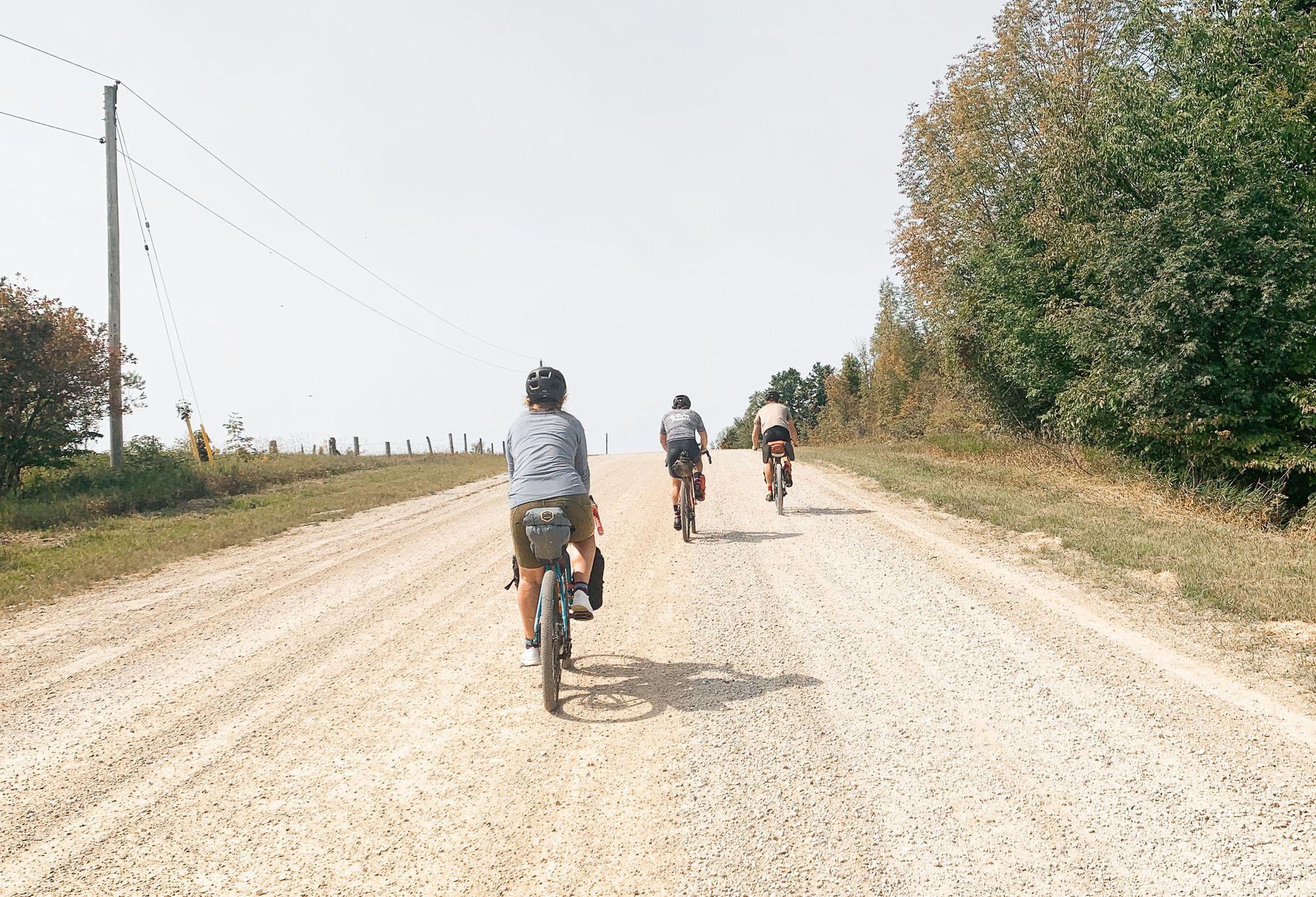
Embarking on an adventure route is super exciting! It's like a thrilling journey where you encounter different types of surfaces. Sometimes, it's fun to be surprised, but it's also nice to have an idea of what to expect. Luckily, we have cool tools like Google Earth and GAIA GPS that show us the terrain. But, be careful! These tools might not always have the most up-to-date info. That's where Ride with GPS comes in. They have this amazing new technology that lets us see the different types of surfaces along our route. And let me tell you, it totally changed my perspective! I used to think a route was mostly paved (like 90%) with just a little gravel (about 10%). But guess what? It turned out to be more like 60% gravel and 40% paved. Can you believe it? I was so surprised
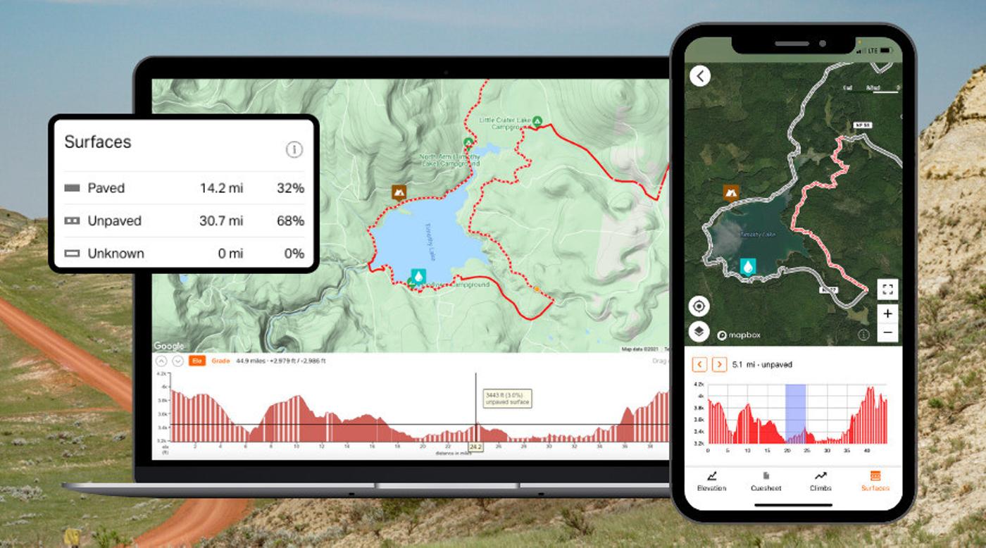
To better understand the varying surfaces encountered on adventure routes, they can be broadly categorized into three distinct types:
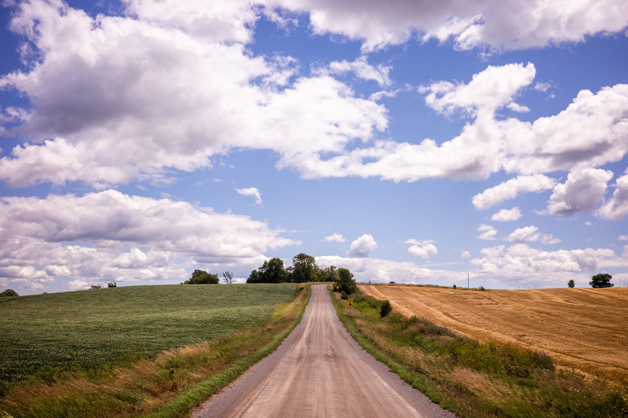
Paved Surfaces
The paved surfaces encompass familiar materials like asphalt, concrete, and chip seal. These smooth pathways are depicted as solid lines on the map, providing a clear indication of the presence of well-maintained roads.
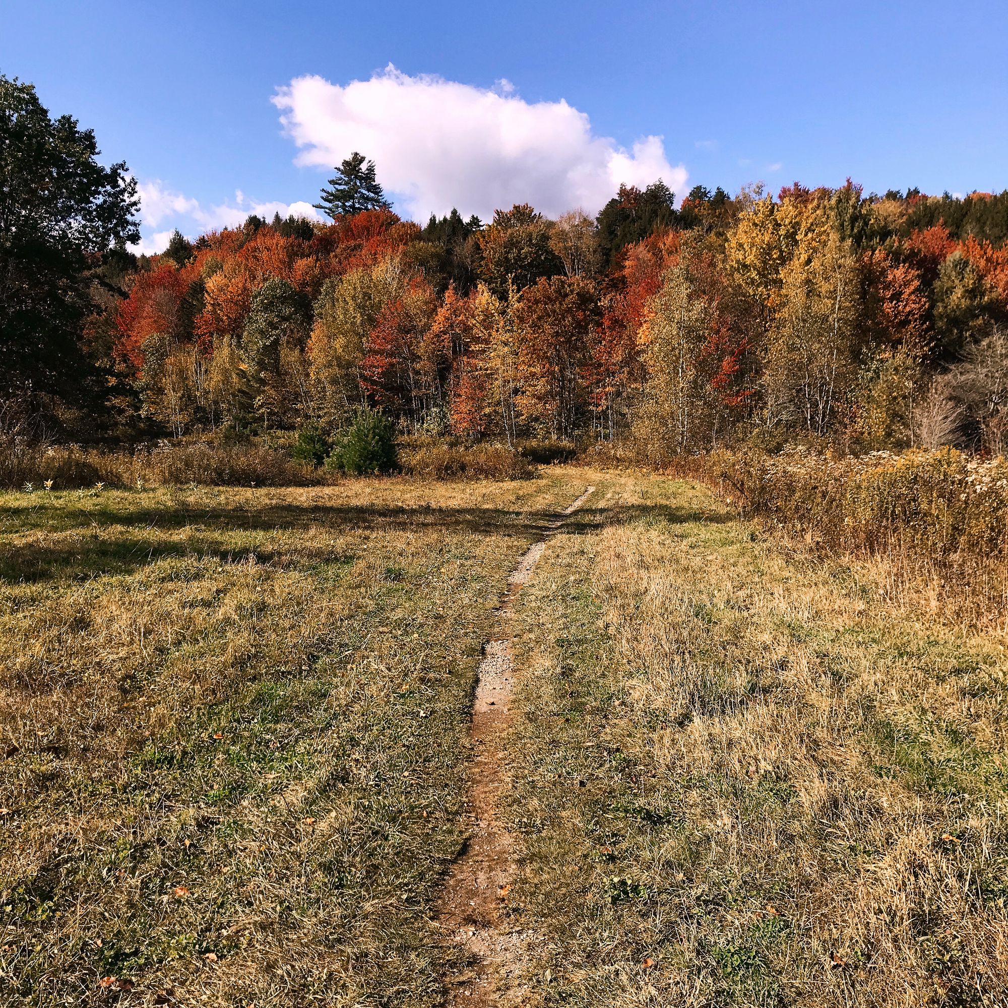
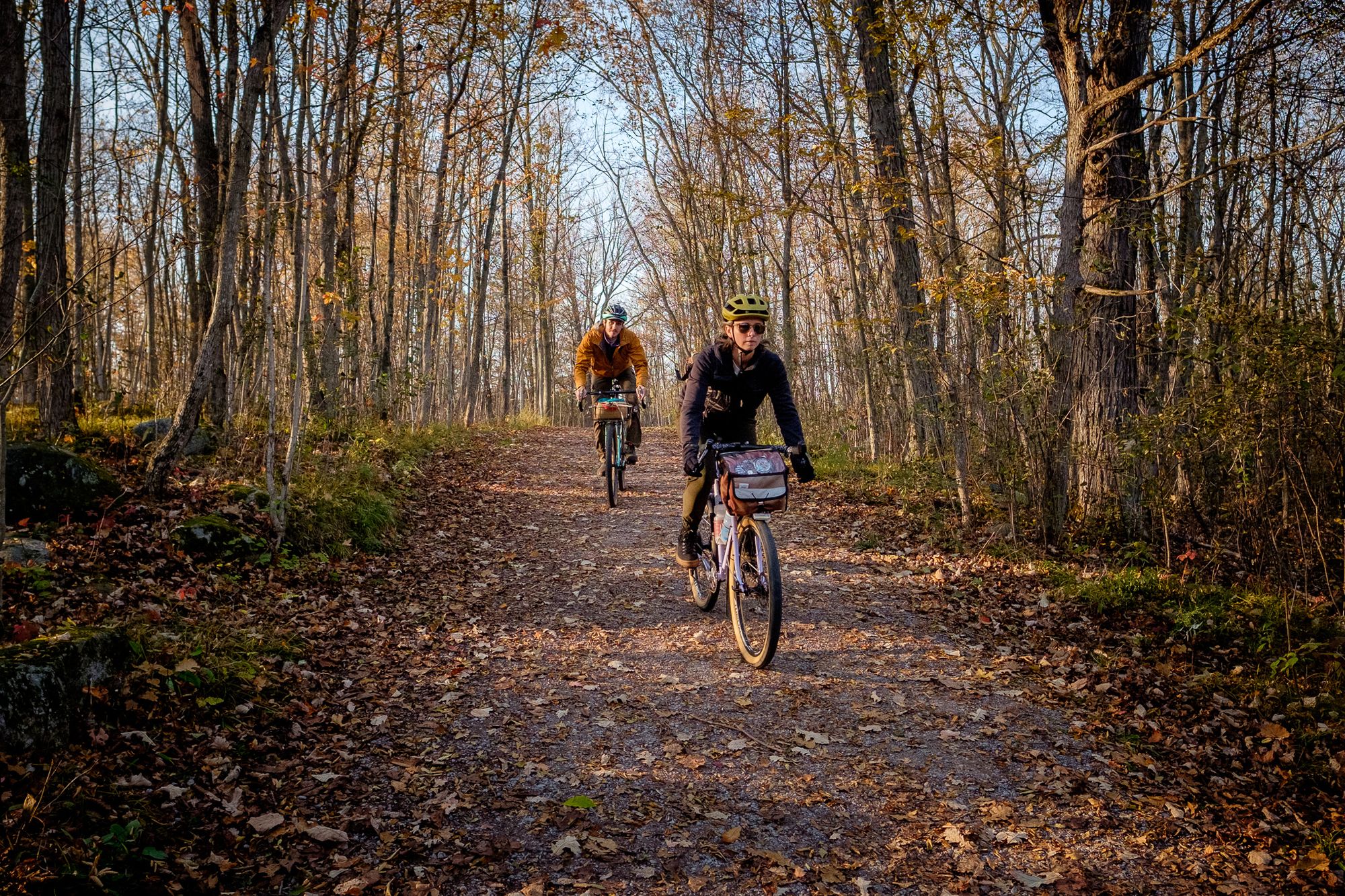
Unpaved Surfaces
The unpaved surfaces introduce an exciting array of terrain, including gravel, dirt, cobblestones, and natural or unimproved trails. These segments are represented by dashed lines, highlighting the off-road challenges that await adventure riders.
Unknown Surfaces
In certain cases, due to limited available data, the surface type may remain elusive, appearing as an outlined white line. These sections serve as enigmatic segments, arousing curiosity and beckoning riders to uncover the hidden treasures they hold.
This new discovery made me realize that our guesses can be way off sometimes. It's incredible how things can be different from what we imagine. But hey, that's the beauty of it all! Technology keeps advancing, giving us more tools to explore the world. With Ride with GPS, we can now understand the different surfaces we'll encounter on our adventure routes.
So, equip yourself with the knowledge of surface types, embrace the unexpected, and embark on a journey that will redefine your perception of adventure. Happy exploring!
Check out more details at Ride With GPS!